![]()
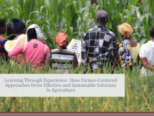
LDRI Data Chat Event: AI for Agriculture, the Case for Smallholder Farmers in Africa
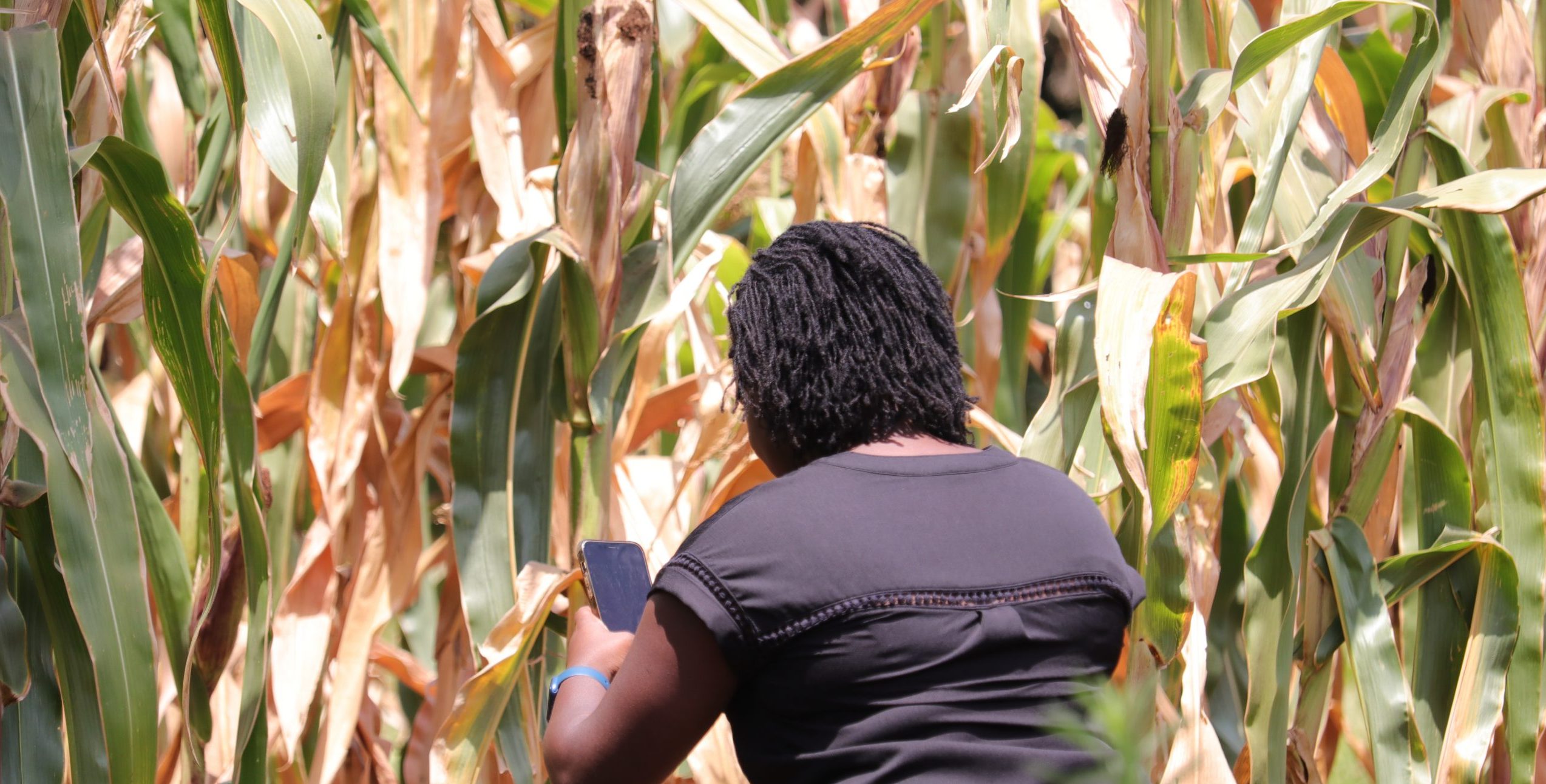
In April The Local Development Research Institute organized a data chat event focused on AI for Agriculture: The Case for Smallholder Farmers in Africa. The data chat event took place on Twitter space moderated by Leonida Mutuku, the Research and Strategy Lead at the Local Development Research Institute, and joined by Fred Gyasi, a Fertilizer Statistician from Africafertilizer.org, and Dr. Anderson Kehbila, the Program Leader for Natural Resources and Ecosystems at the Stockholm Environment Institute, Africa Centre, as panelists.
During the discussion, the panelist explored the use of AI in Agricultural Value Chains, the transfer of AI technology from the developer to the farmer, gaps and challenges, how to establish sustainable models for AI in Agriculture, and the social and ethical impact of AI in Agriculture.
Our guest speakers shared great insights and resources which you can find below:
Leveraging Artificial Intelligence and Citizen Science to improve decision-making in the Agriculture and Forestry Sectors.
Written by Dr.Anderson Kehbila, who leads and coordinates the Stockholm Environment Institute’s Program on Natural Resources and Ecosystems in Africa.
The Stockholm Environment Institute (SEI) is an international non-profit research and policy organization that tackles environment and development challenges. We connect science and decision-making to develop solutions for a sustainable future for all. The institute has 8 offices across Africa, Asia, Latin America, Europe, and North America. The African Centre focuses on tackling development challenges in three programmatic areas including energy and climate change, natural resources and ecosystems, and sustainable urbanization.
Currently, the Africa Centre is collaborating with the Colorado State University in the US to develop a web application to support decision-making on forestry planning, livestock, and agricultural production in Kenya. We do this by co-developing coupled modeling tools that incorporate satellite and ground data to provide insights into the system dynamics of atmospheric water cycling that leads to changes in evaporation and precipitation and how they affect forest cover and livelihood outcomes among pastoral and agricultural communities. We communicate the outputs of this model through an interactive web application to guide policymakers, planners, implementation agencies, and smallholders to make informed decisions on forestry planning as well as grazing and planting decisions.
In the second phase of the IMARA (Integrated Management of Natural Resources for Resilience in Arid and Semi-Arid Lands) project, SEI Africa will partner with the African Technology Policy Studies Network (ATPS) to leverage a LandPKS mobile app technology to assess the restoration potential of degraded lands based on unique soil characteristics, topography and climate by helping farmers monitor soil health (soil organic matter, pH, electrical conductivity), vegetation cover and track crop management activities including tillage and erosion control, planting dates and yield, weed and pest management, irrigation and rainfall, crop residue management, compost applications and nutrient management for improved food and water security. Satellite and ground data will also be used to develop geospatial datasets for establishing baselines and support the design, planning, and development of monitoring and evaluation systems for land and water resources, land cover and land uses, agro-climatic information, multi-hazard risks and vulnerability, agro-ecological zoning, and land suitability at the county levels.
To ensure long-term sustainability, the AI solutions will be user-friendly and aligned with the most critical needs of end-users. This will be done by jointly identifying the challenges faced by end-users and then co-developing and prioritizing solutions that include traditional and scientific knowledge while building users’ capacity to implement the solutions. This will entail upholding and considering several ethical considerations, including:
- Demonstrating respect for end-users by gaining informed consent from them before beginning fieldwork;
- Minimizing harm by ensuring that participants are protected and adhered to confidentiality in the reporting and sharing of data;
- Maximizing benefits by letting participants discuss attitudes, beliefs, and experiences as important processes of self-reflection and empowerment; and
- Managing expectations of participants by giving realistic estimates of what participants should expect and which and when resources will be required.
Additional Resources.
- AfricaFertilizer.org. https://africafertilizer.org/ to access fertilizer prices, trade, apparent consumption, and other resources on fertilizers.
2. Fertilizer and seeds map (FeSeRWAM) https://feserwam.org/ to access Agro-input packages containing site-specific information on improved seeds, appropriate fertilizer recommendations, and good agricultural practices
- Nigeria cropland mapping by QED: https://about.maps.qed.ai/ https://cropstats-ng.qed.ai/
- VIFAA dashboards in Kenya, Nigeria, and Ghana.